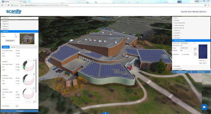
Solar software company Scanifly is obtaining weather data to enhance its shading analysis tools and offer country-specific solutions. Already with a presence in the U.S., Latin America and Australia, Scanifly is now eying markets in Europe. The software can generate viewsheds from any location on a solar array, the company says. There is no need to go on the roof to conduct a shading analysis; no more SunEye or Pathfinder equipment. After a brief drone flight and a few clicks, Scanifly’s software can produce a shading report with aerial photos and a proprietary analysis from any angle desired by a customer or regulator, commented CEO of Scanifly John Novak.
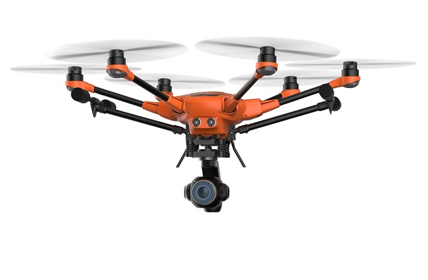
It’s current process differs from what is commonplace. Most developers leverage a preliminary design from a remote assessment, execute a sale, and then go back and forth to a site to acquire missing data. According to the firm it suggests an alternative process that saves solar companies up to 90 percent of the pre-construction time at a fraction of the cost. Developers go to the site and fly a drone over the property.
On average, 20 minutes later a company will have all the information they need from just one site visit. Subsequently, the Scanifly cloud creates a 3D model of the project that is a virtual replica with accuracy of approximately 3 inches from reality. From there solar designers can create arrays, analyze systems, estimate production and produce customized reports all in 3D. (nhp)
Discover more innovations on video from our pv Guided Tours at The smarter E Europe 2018 in Munich
Get to know more about solar modules.
Stay informed, get our free newsletter twice a week. Register here


